andrii.designer← back to the site
All chapters

Days 04–08April 25–29, 2021

Canyons and eternal flames

Olympos, on the pebbles
Göynük → Gelidonya · ≈100 kmRoute · 0%

Sunday · April 25

Day 04

Into Göynük Canyon

I didn’t stay alone for long. On the trail I met a Russian who was walking only the eastern part of the Lycian Way, and for a day we walked together.

01 · Göynük

A canyon for free.

Early in the morning we came to Göynük Canyon, one of the most popular places on this part of the coast. There was nobody there yet.

The Russian had an idea: take a boat and wetsuits, the things tourists pay for, and use them for free. So we did. We took the boat as far as it would go, pulled on the wetsuits and swam on towards the end of the canyon.

02 · The bill

Not so free.

Then we saw people at the entrance calling us back. We turned around and swam out. Nobody shouted at us, but we paid all the same, something like 800 hryvnias.

For me at the time that was a lot of money. I was annoyed with the Russian for the whole idea.

≈800 uah for a “free” swim.
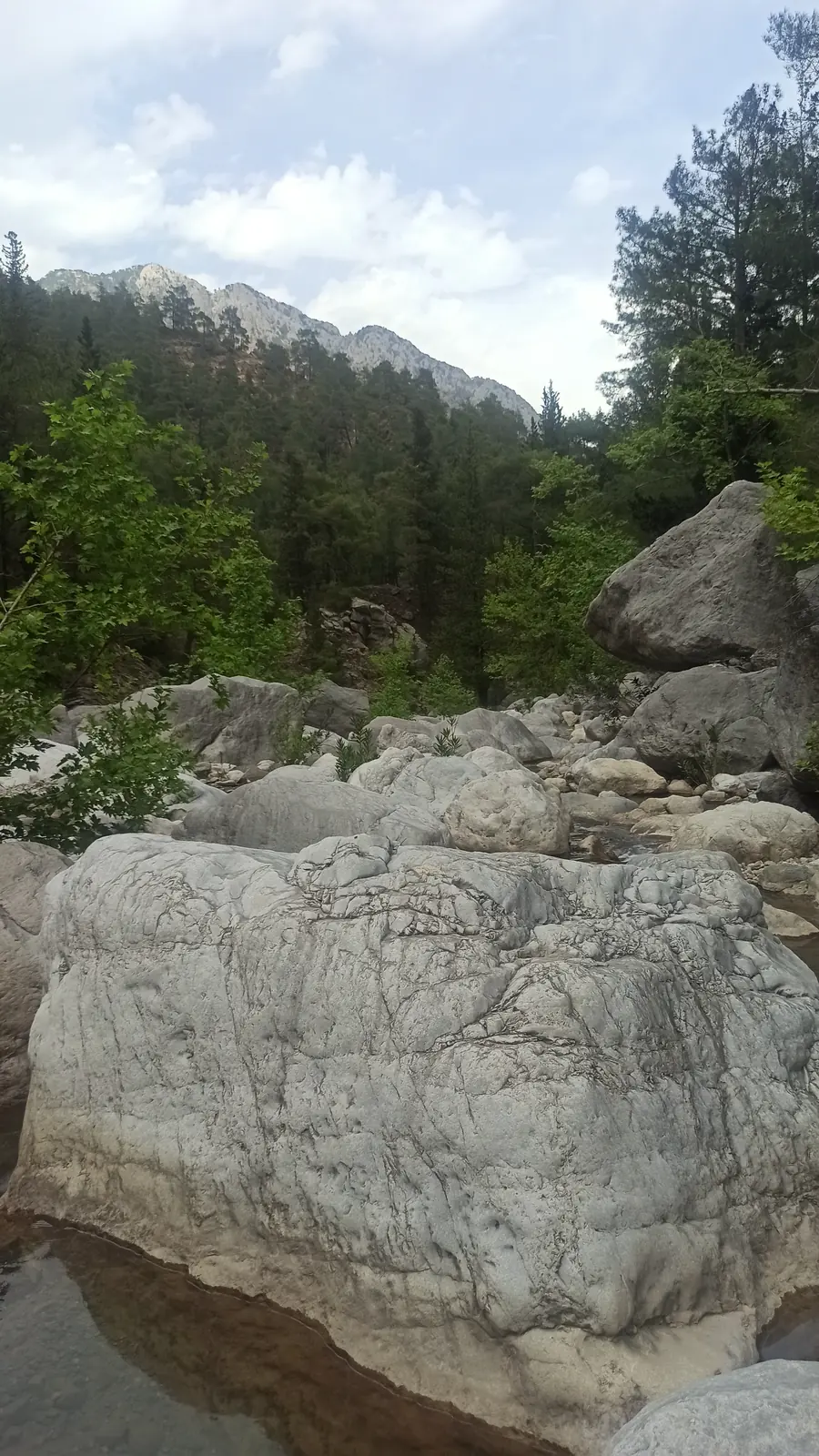
Smooth white boulders in a dry riverbed, with pine-covered mountains behind
The riverbed, later that day

03 · Company

The group from Kyiv.

Around the same time I met a group of Ukrainians from Kyiv. They were walking the eastern part of the trail, as far as the lighthouse at Gelidonya. One night we all camped together: the Kyivans, the Russian and me.

After the canyon the Russian and I set off together again, but I soon pulled ahead and walked on alone. I never saw him again. The Kyivans were different. For a whole week we kept running into each other. Sometimes we walked together, sometimes we split up, and then we’d meet again further on.

Monday · April 26

Day 05

Up to the foot of Tahtalı

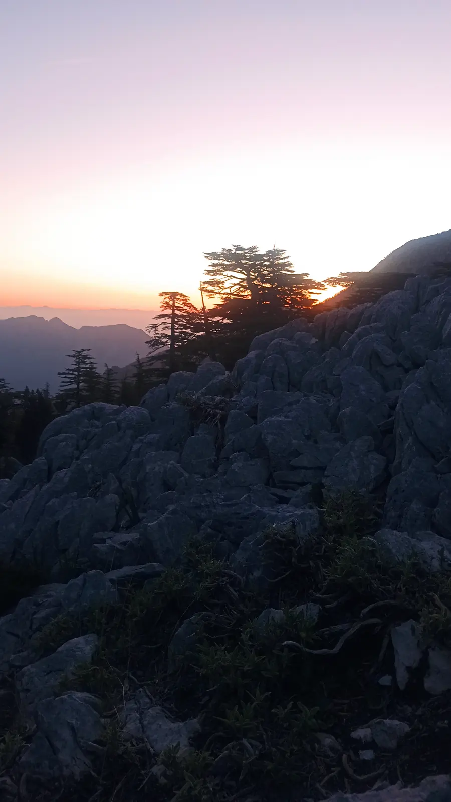
At six in the morning I was already high in a pass, watching the sun come up over the ridge. By the evening we were camped right under Tahtalı, the highest mountain along the whole trail.
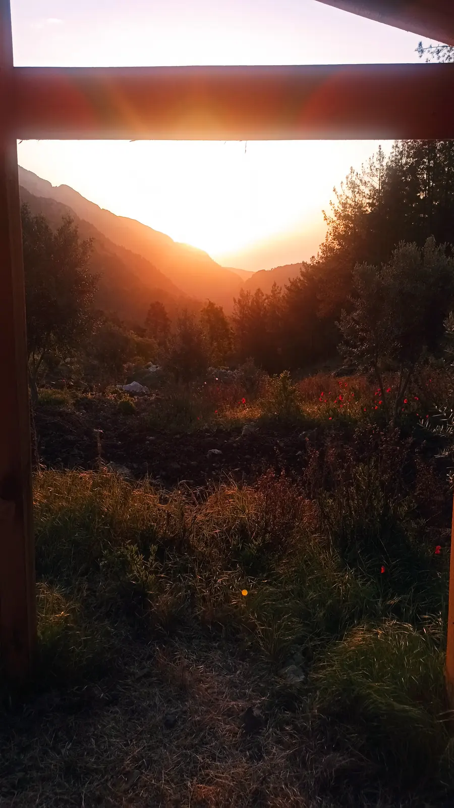
Sunrise between two dark mountain slopes, framed by a wooden beam
Sunrise in the pass
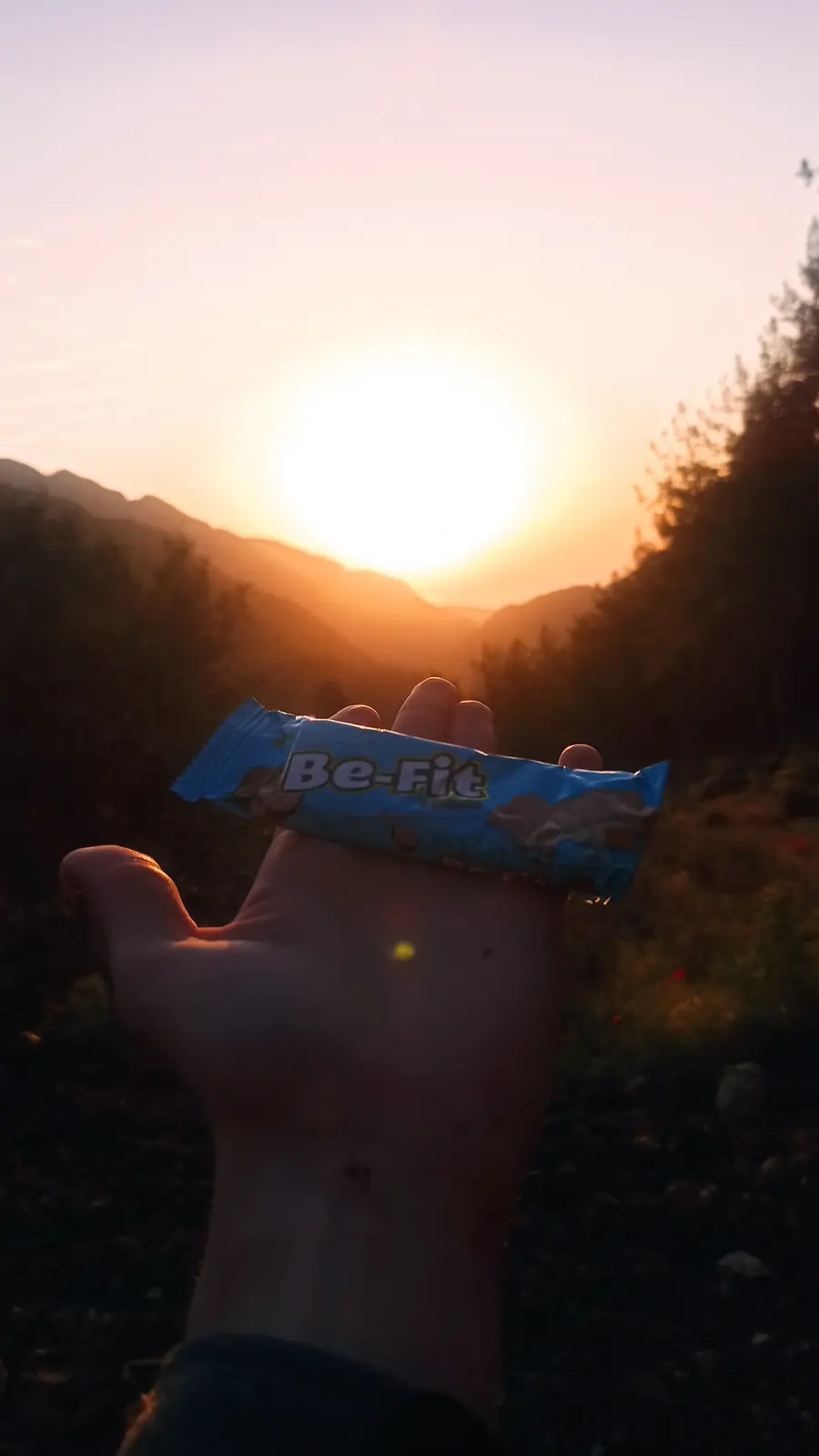
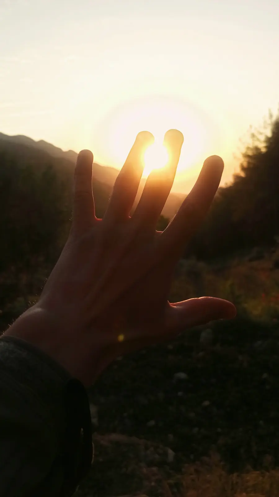
A hand held up against the rising sun
Holding the sun
A hand holding a snack bar up to the low sun
Same sun, with a snack
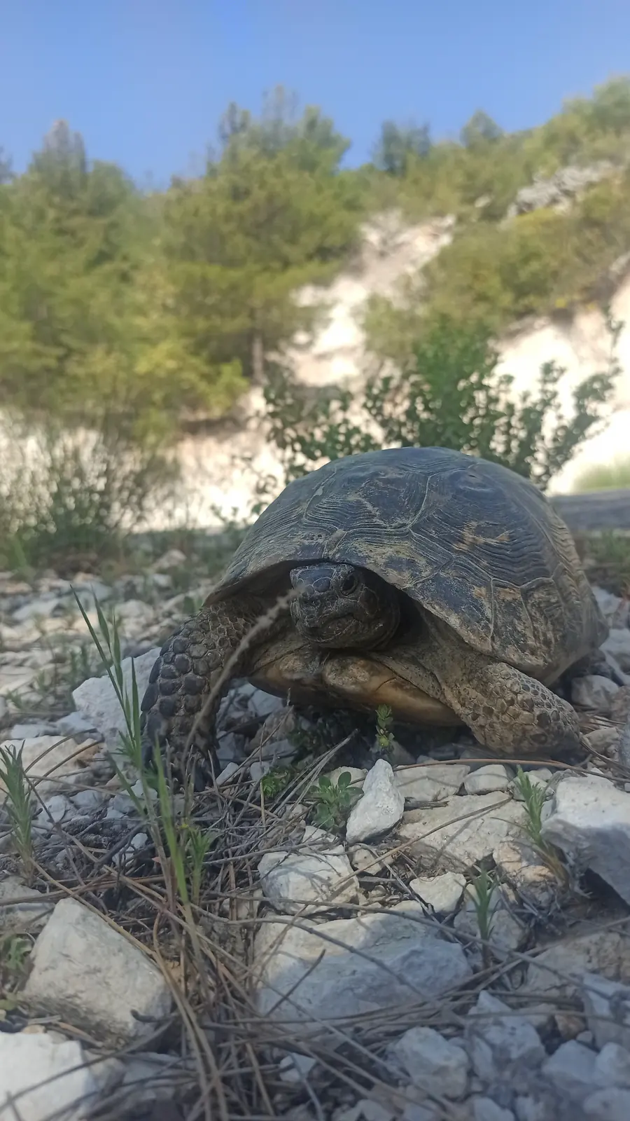
A tortoise on white stones beside the path
A local
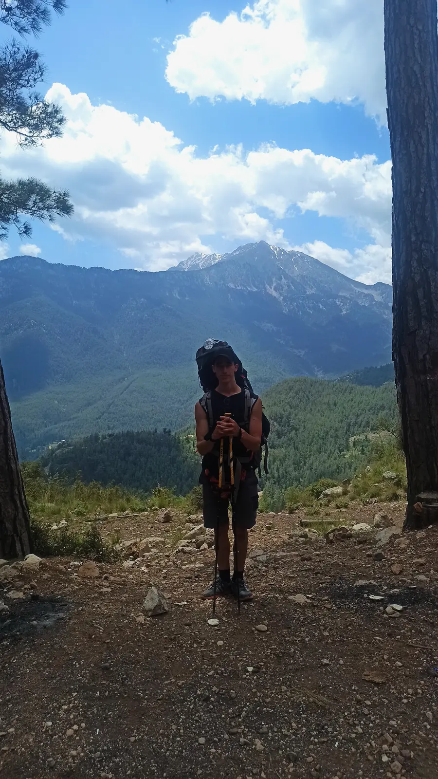
A hiker standing between pines with a pointed mountain behind
Under Tahtalı

04 · Camp

A night under Tahtalı.

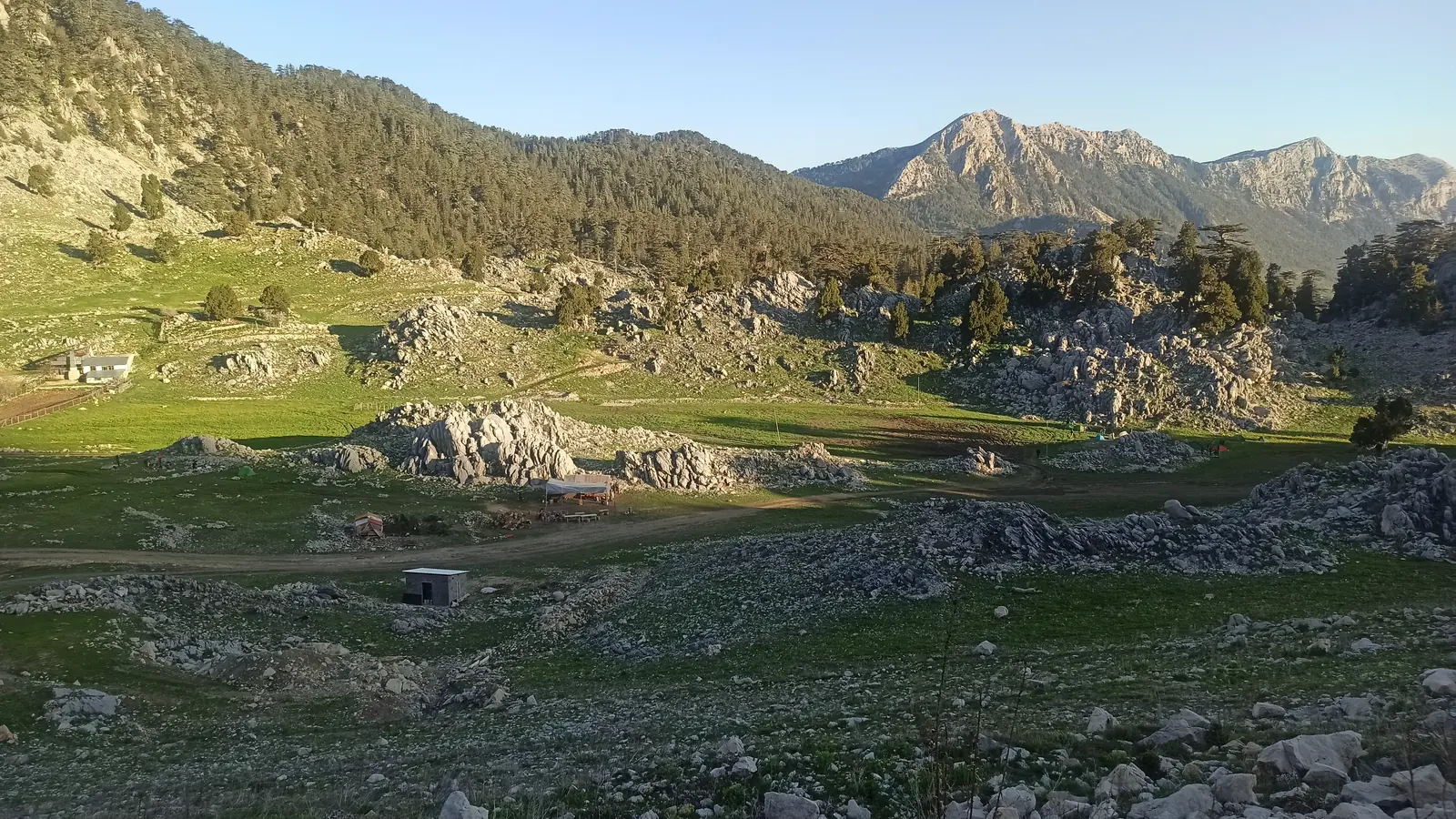
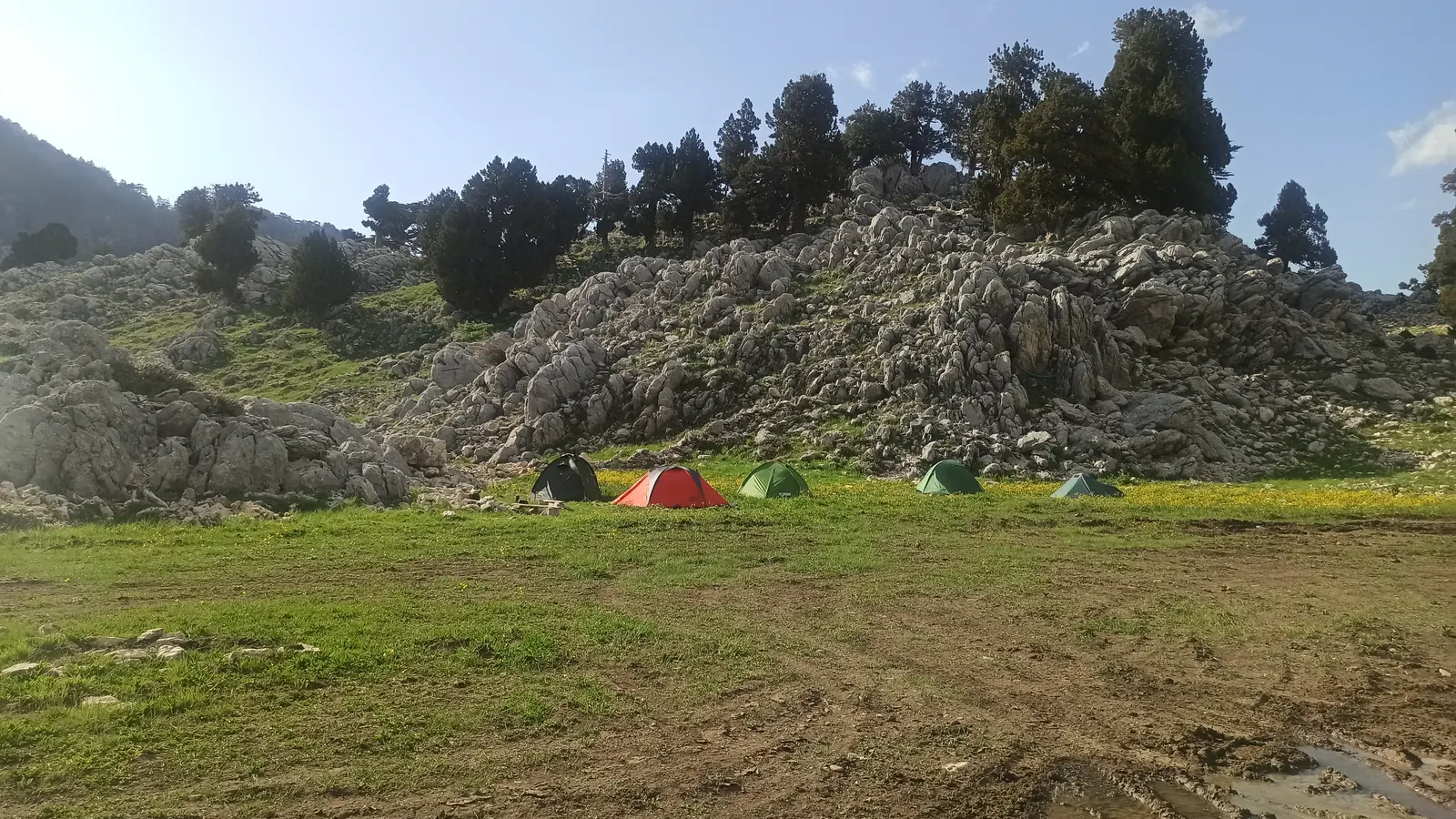
I was walking with the group from Kyiv again. The official Lycian Way goes round Tahtalı, but we wanted to climb it. In the evening we came out onto a wide green meadow under a wall of grey rock and camped right below the mountain, with other tents already pitched along the edge. The plan: the top first thing in the morning.

I slept in my tent every night of the trail. Not once in a hotel or a hostel. I had to save money, so I saved it.
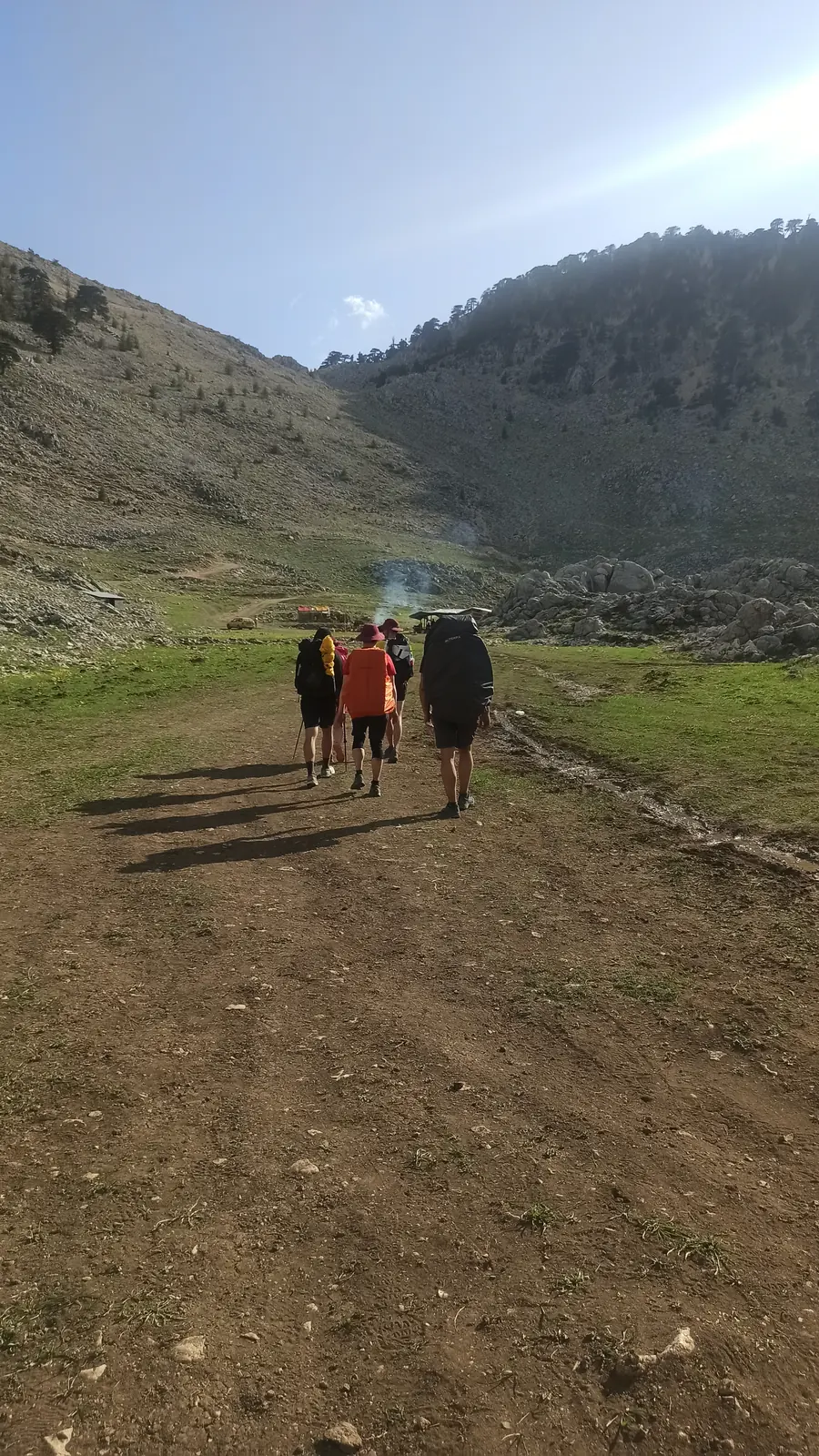
Three hikers walking across a meadow towards tents below rocks
Walking into camp, below Tahtalı
Colourful tents on a green meadow below a ridge of grey limestone
Where we slept
Tahtalı Dağı · relief from elevation data, height ×2.2Scroll · 0%

Tahtalı Dağı · 2,366 m

The mountain above the coast.

From Göynük the trail climbs to Tahtalı. We went over the top, then down to the sea.

Day 05 · April 26

Sunrise in the pass.

Up at six, then with the Kyiv group to a camp right below the summit.

Day 06 · morning

The top of Tahtalı.

2,366 metres, the highest point along the Lycian Way. We climbed it off the official route.

Day 06 · April 27

Down to the sea.

From the summit all the way to Çıralı, and the Chimaera after dark.

2,366metres

Tuesday · April 27

Day 06

Over Tahtalı to Çıralı

In the morning we climbed to the top of Tahtalı, 2,366 metres. Then we came all the way down to the sea.

Pink dawn sky over a dark rocky slope
Before sunrise
A high grassy plateau scattered with limestone, mountains behind
On the way up
View from a bare white mountainside down to a coastline and the sea
The sea, from up high

05 · The top, then the coast

From 2,366 metres to the beach.

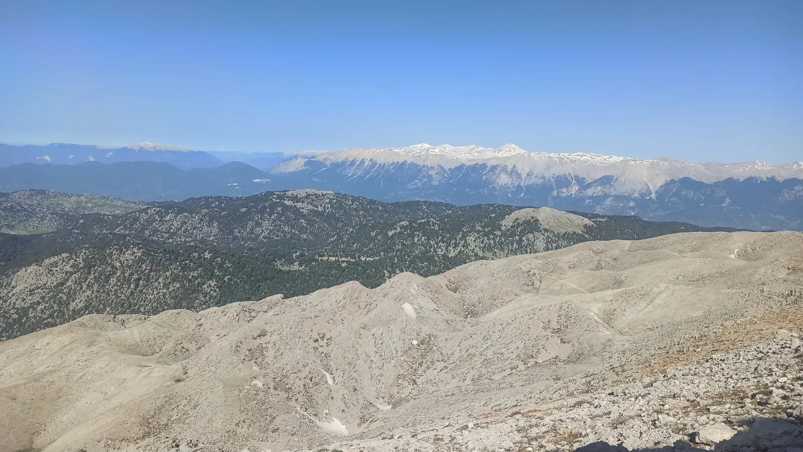
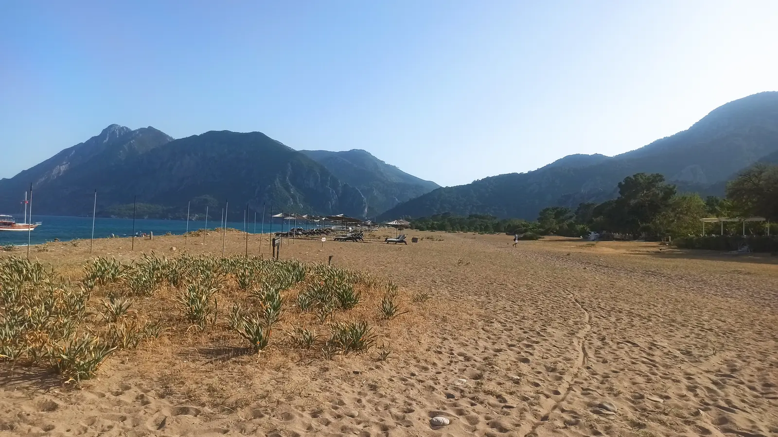
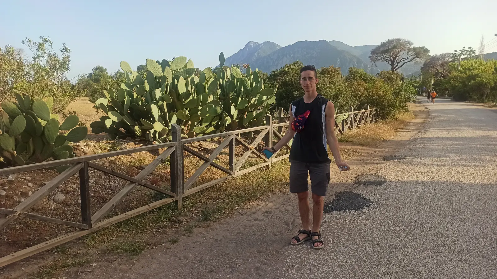
Up there you can see the whole coast far below, the first time I’d seen the sea since Antalya. Then came the long way down, from the summit almost to sea level, in one day. By late afternoon I was down at Çıralı, a long beach under green mountains, walking past fields of prickly pear.

A sandy beach with a bay and mountains on the far side
Çıralı beach
Andrii on a road lined with prickly pear cactus and a wooden fence
Cactus road

06 · After dark

Fire out of
the rock.

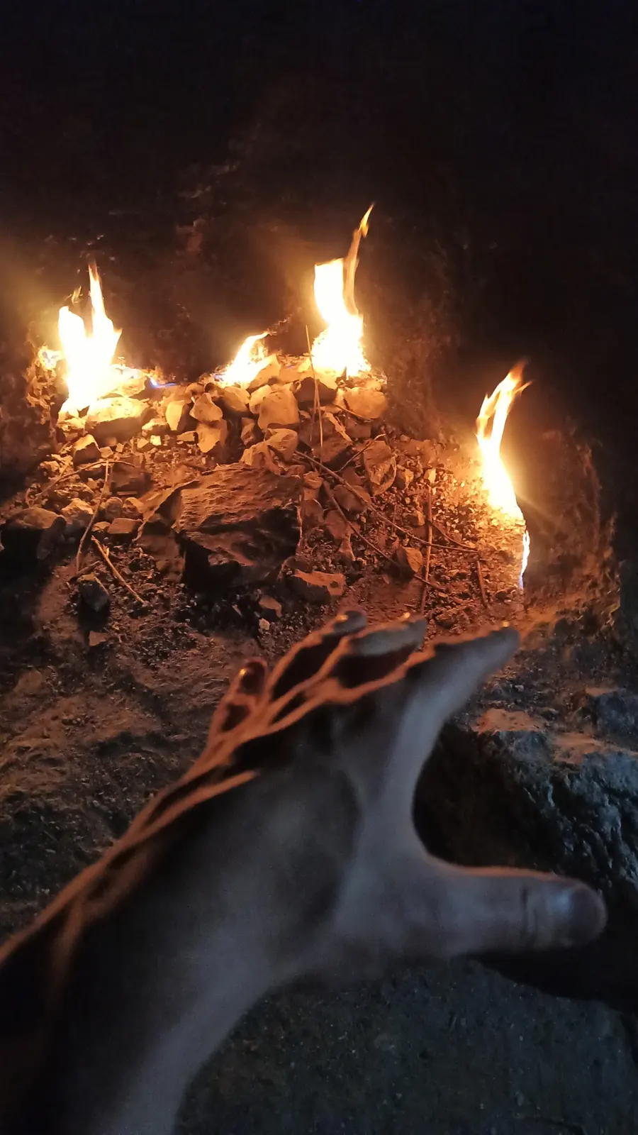
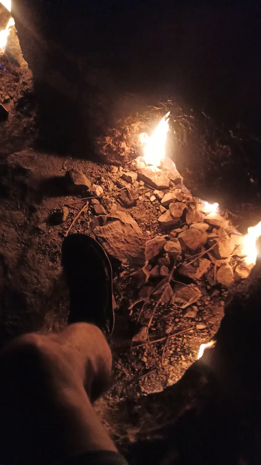
Above Çıralı, on the hillside, flames burn straight out of cracks in the rock. It’s gas seeping up from deep underground, and it has been burning for thousands of years. The ancient Lycians called the place the Chimaera; today it’s Yanartaş, “the burning stone”. We went up there after dark.

YANARTAŞ · “THE BURNING STONE” gas from deep underground · burning for thousands of years
Drawing · from my photos, 21:56
Small flames burning out of cracks in a rock at night, a hand held near them
The Chimaera
Flames glowing inside a hollow in dark rock
Burning stone

Wednesday · April 28

Day 07

Çıralı to Adrasan

A day of beaches: sand at Çıralı, pebbles at Olympos, then back up over the hills.

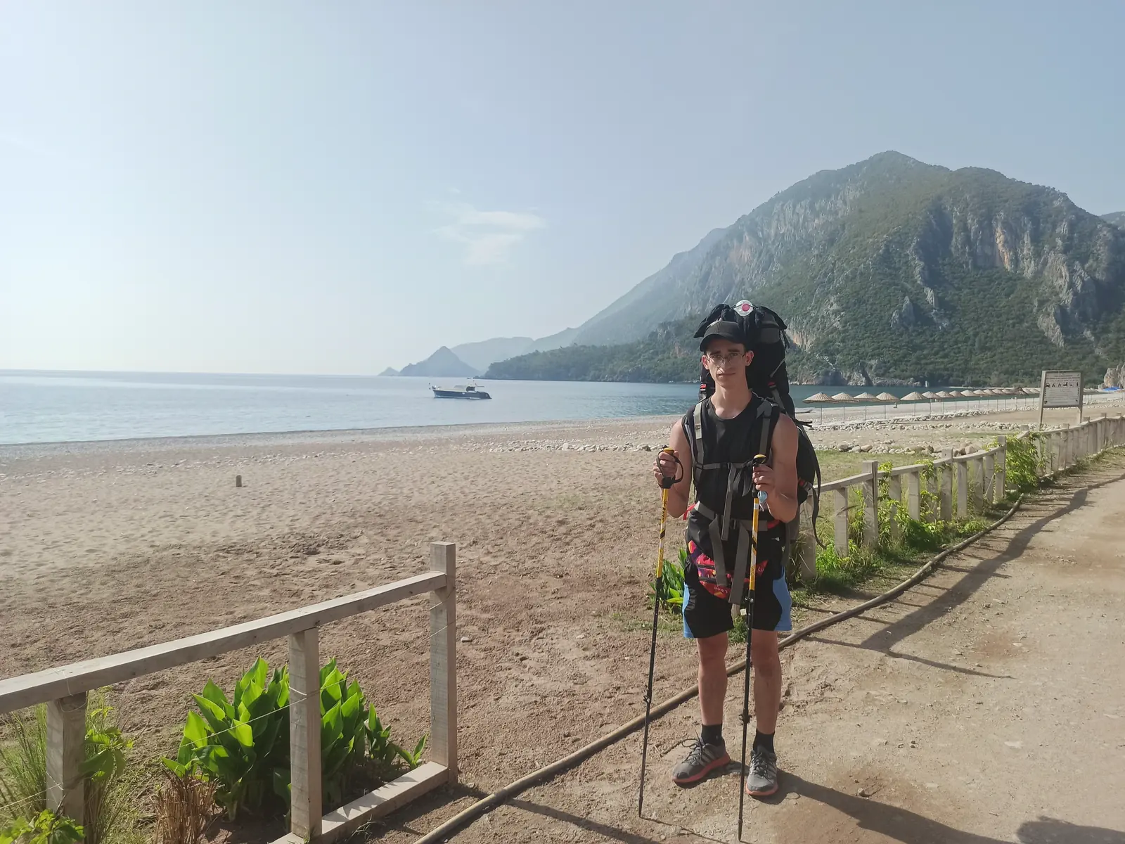
Andrii with a large backpack and trekking poles on a beach below a steep green mountain
Me, Çıralı
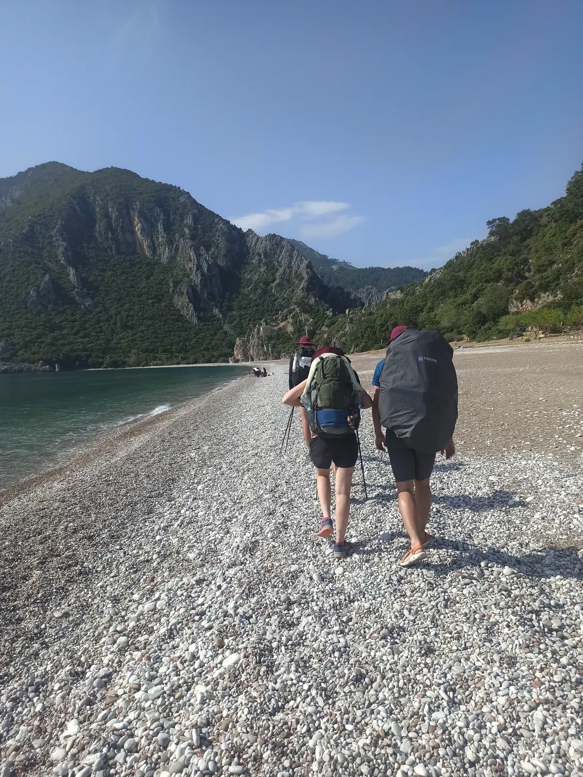
Two hikers with big backpacks walking along a pebble beach below a mountain
On the pebbles
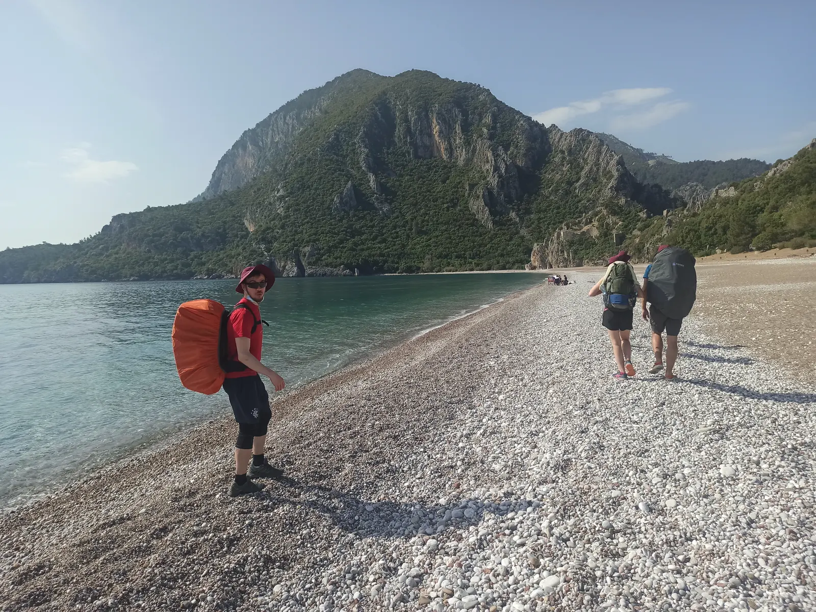
Hikers on a pebble beach, one with an orange backpack, a steep mountain behind
Other walkers

07 · Uphill again

Every beach ends with a climb.

That’s the rhythm of this part of the trail: down to a bay, along the water, and straight back up into the hills. By lunchtime I was high above the coast again, and by the evening I was down at the next beach.

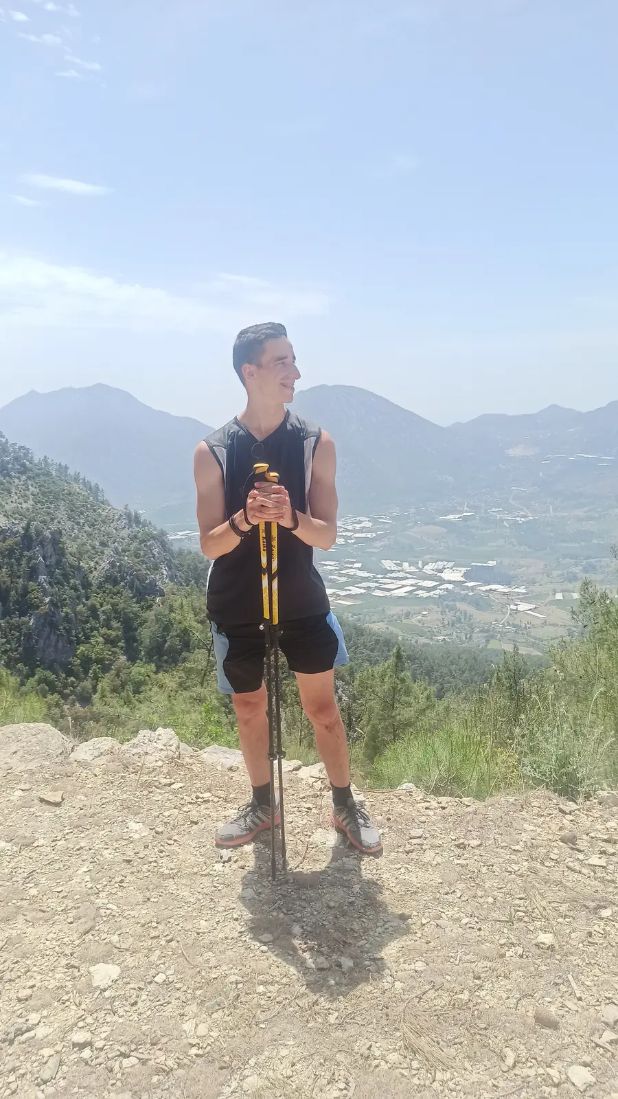
Andrii with trekking poles on a hilltop above a coastal valley
Above the coast
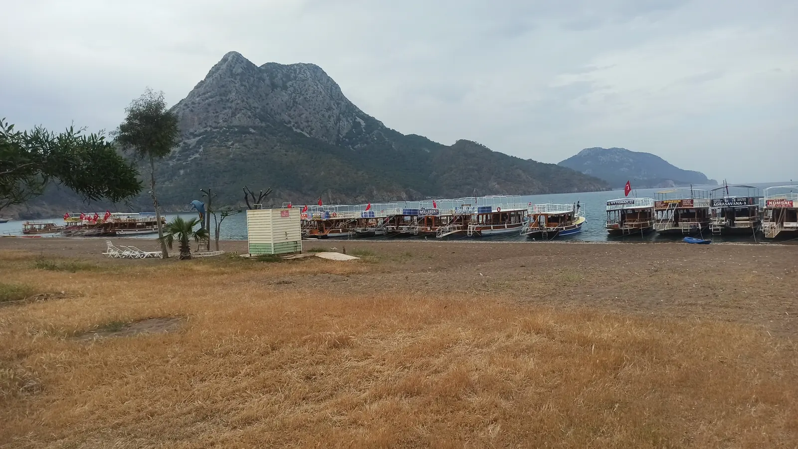
A beach with rows of sunbeds and a large mountain behind
Evening by the sea

Thursday · April 29

Day 08

Adrasan to Cape Gelidonya

The Kyivans were heading for the lighthouse on Cape Gelidonya, the end of their walk. We said goodbye before we got there.

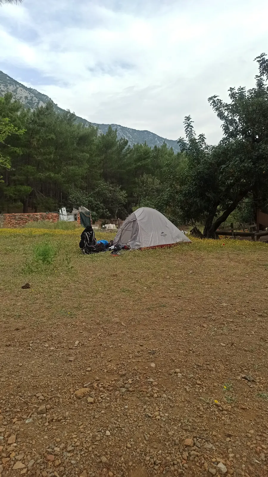
A small tent on a grassy field below wooded hills
Morning camp
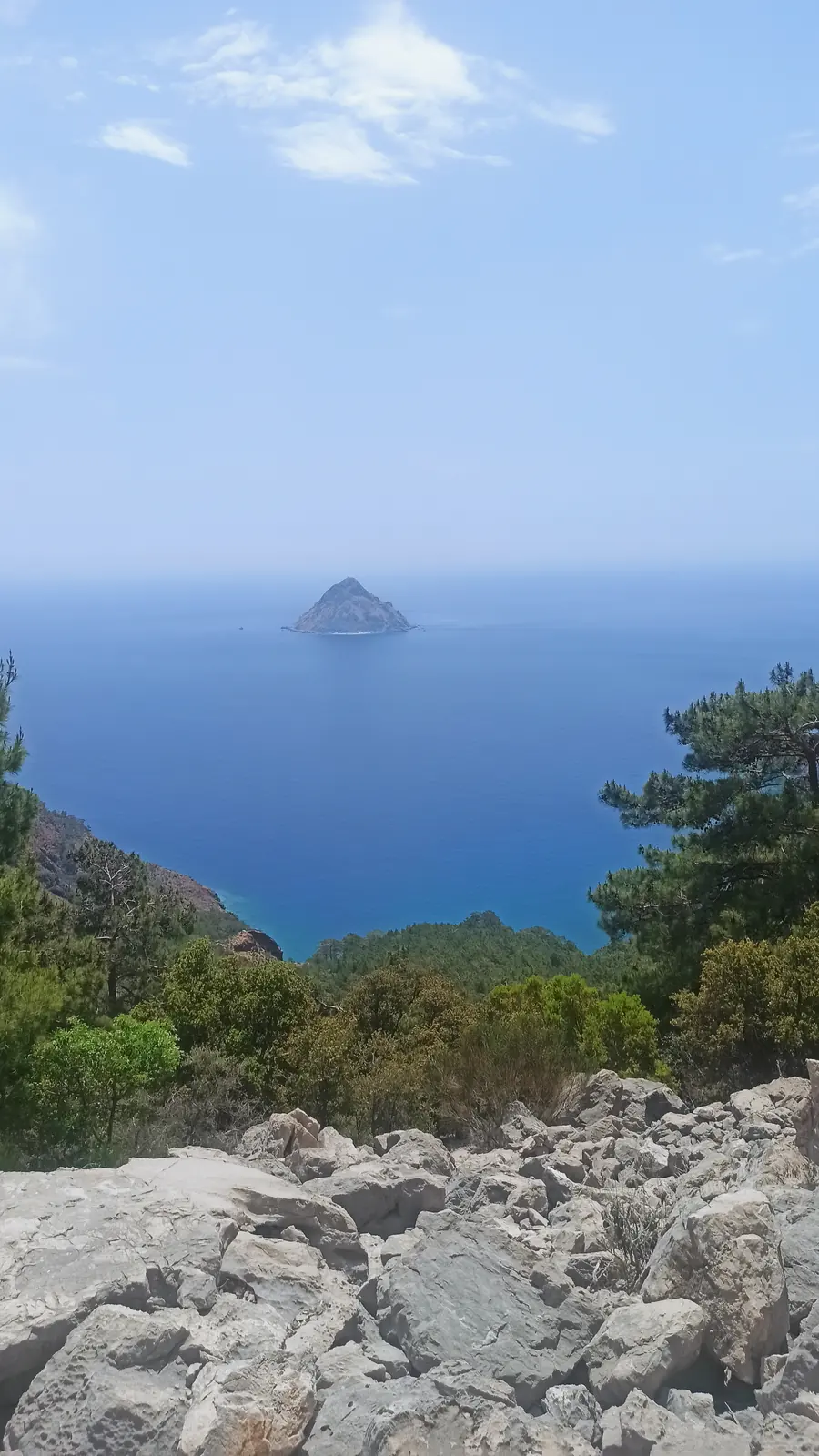
A small rocky island in a deep blue sea, seen from a rocky slope
Off the cape
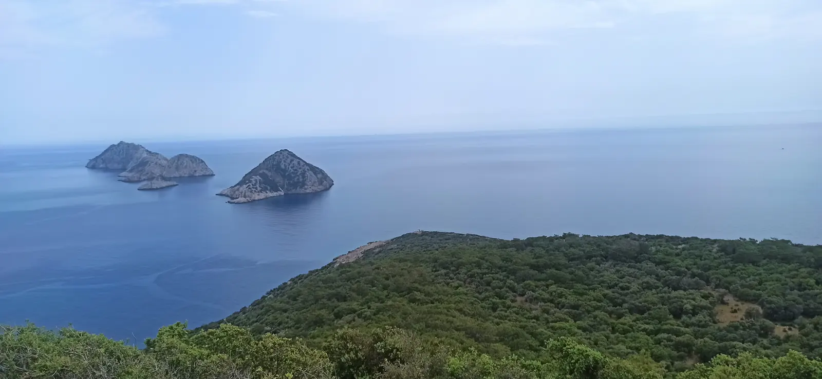
Rocky islands off a green headland in a calm blue sea
The islands at Gelidonya

08 · Goodbye

Magnets.

I was walking faster than them, so we parted near a village on the way, not far from the lighthouse. We said goodbye properly. As a souvenir I gave them fridge magnets I’d made myself, by hand. Then I walked on, alone again.

handmade magnets for the kyivans.

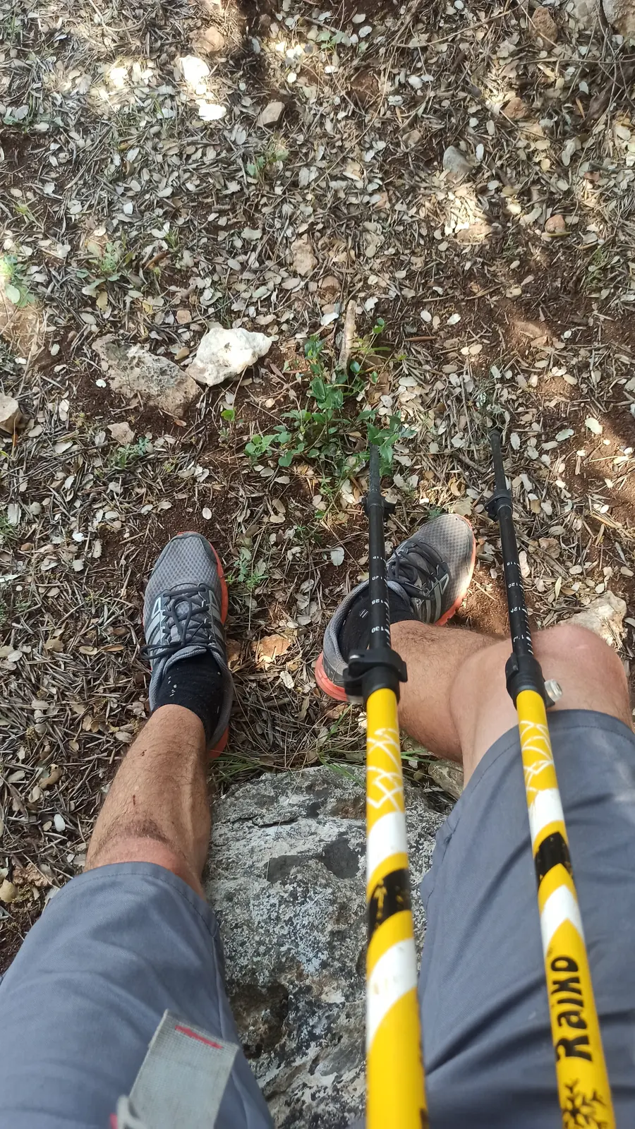
Looking down at running shoes and yellow trekking poles on rocky ground
Shoes, poles, rocks
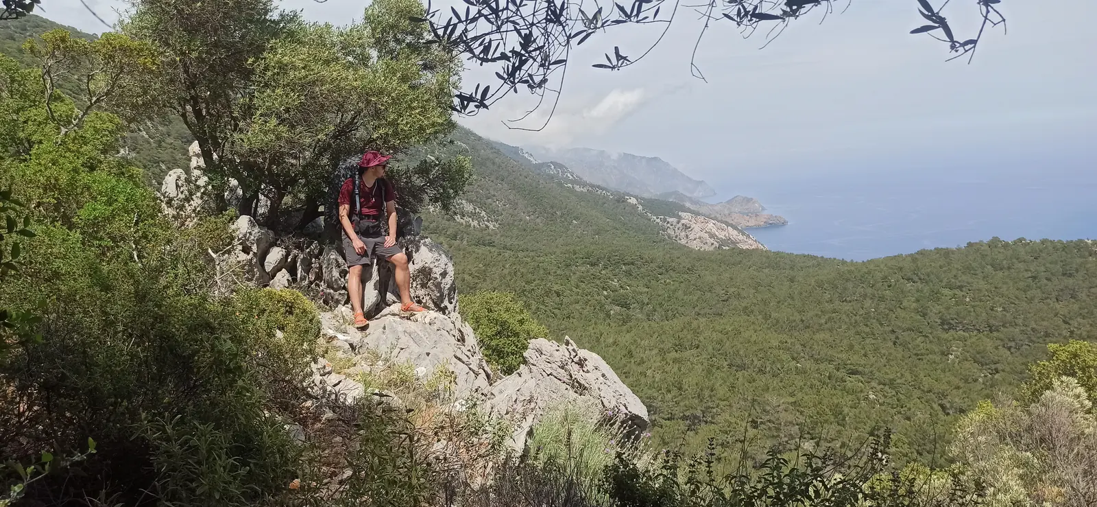
A hiker resting on a rock above a wooded coast
A break on the rocks

09 · How I walked

Fast.

That was how I walked the whole trail. I walked fast, stopped rarely, didn’t wander off to look around, and talked to people less than I could have. I just wanted to walk the Lycian Way, and I did it quickly.

I still don’t know whether that was good or bad. It was simply my way of walking it.

Days5
On the trail≈100 km
Canyon≈800 uah
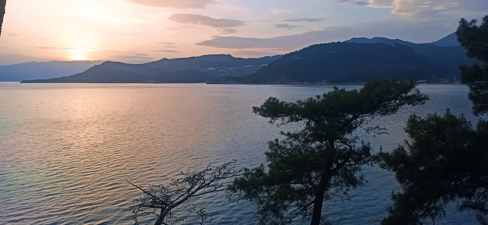
Sunset over a calm bay with dark wooded hills and a pine in the foreground
Alone again